Description of educational activity
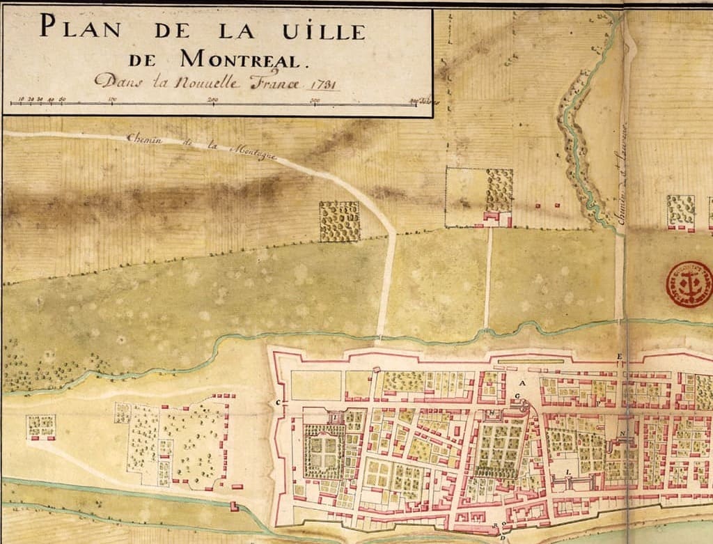
Montréal, Maps in Handinvites students to learn about Montréal and its history through maps. That’s right, paper maps — the kind people used before Google Maps! Students have an opportunity to handle several types of maps containing a wealth of information about the city’s territory and history. If you look closely, they even offer a glimpse of Montrealers’ lives in the past.
The activity Montréal, Maps in Hand takes place at the MEM in two stages:
- A sensory game in which students use a historical map to discover Montréal in the past, along with smells, sounds and residents’ activities. It's also an opportunity to compare old and new maps. What do the two maps have in common? Are there geographical markers that offer some clues? A Q&A observation activity that invites students to compare the size of Montréal in the two eras.
- A seek-and-find activity around objects from New France in the Montréal exhibition. Students tour the exhibition with a museum map, gaining a deeper understanding of Montréal and its history.
All of these activities are tailored to the students’ level and their Social Sciences program.
Objective
- Use maps to learn about Montréal and its history.
- Become familiar with maps and learn to read and use them.
Links to the Québec Education Program (QEP)
Elementary Cycle 2
Cross-Curricular Competencies
- Use information
- Cooperate with others
Geography, History and Citizenship Education
Competencies
- Understand the organization of a society in its territory
- Interpret change in a society and its territory
Progression of learning
- French society in New France around 1645
- Canadian society in New France around 1745
- Techniques specific to geography and history
The MEM is listed in the Répertoire culture-éducation. The activity is eligible for financial support through the Sorties scolaires en milieu culturel.
Educational vision
The MEM's educational offering is the fruit of a collective effort involving a committee of some fifteen teachers and education specialists, as well as community partners working in the fields of civic engagement, living together and accessibility.
Our educational programs aim to equip young people to become citizens interested in their city, its challenges and its history. They aim to foster their awareness of the importance of living together and their commitment to their community.
Our programs talk about Montreal, its history, its territory and its people, through such perspectives as neighborhoods, immigration, citizen power and disability. The varied activities that make up our programs encourage students to share their experiences, develop critical thinking skills and empathy, and foster civic engagement.